Geospatial Mapping: Land Use and Urban Mapping |
|
|
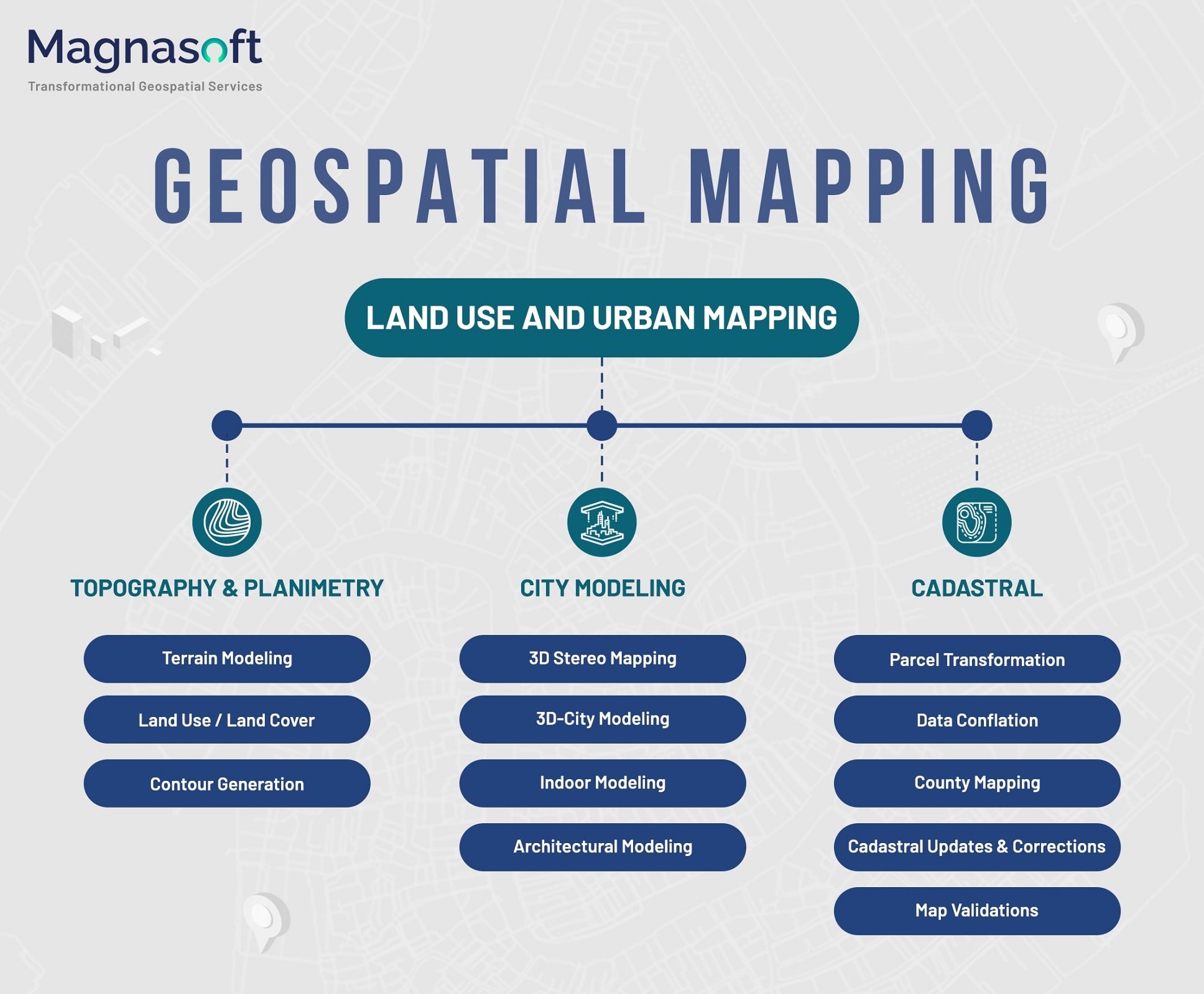
| The infographic is presented by Magnasoft, a company specializing in transformative geospatial services.
The services offered are divided into three main categories:
Topography & Planimetry: This includes Terrain Modeling, Contour Generation, and Land Use/Land Cover.
City Modeling: This encompasses 3D Stereo Mapping, 3D City Modeling which includes Indoor-Mapping and Architectural Modeling.
Cadastral Transformation: This covers Parcel Transformation, Data Conflation, County Mapping, and Cadastral Updates & Corrections.
This infographic provides a comprehensive overview of the various geospatial mapping services provided by Magnasoft, highlighting their applications in urban planning and land use management. It could be particularly useful for professionals in urban development or for educational purposes in geography and environmental science. |
|
|
|
|
     
|
 |
You Like This |
|
|
|
 |
This Image Has Been PowerShared™ Successfully! |
|
|
|
| Check out Magnasoft's Profile, and Images! |
|